

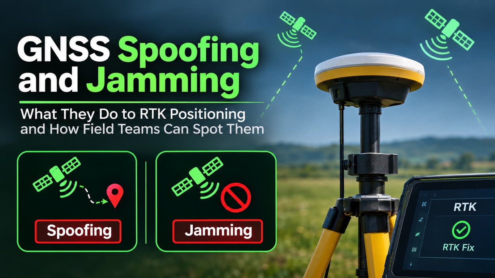
Satellite positioning can fail even when a rover appears normal. Its fixed solution may disappear or its coordinates may disagree with verified control. Obstruction, interference, and spoofing require different responses.
The correction link and the satellite link perform different jobs. According to RTKdata, an NTRIP (Networked Transport of RTCM via Internet Protocol) correction service provider, a rover can receive correction updates even when its antenna still receives disturbed or misleading Global Navigation Satellite System (GNSS) signals. Field teams should therefore evaluate both the receiver measurements and the correction stream before trusting a real-time kinematic position.
How Two Types of Interference Affect RTK
Although both threats affect GNSS equipment, they create very different failure patterns in the field. Jamming typically disrupts satellite reception, whereas spoofing can produce convincing coordinates that are actually incorrect.
Jamming Interrupts Satellite Reception
Jamming adds unwanted radio energy near navigation frequencies. Receivers may lose satellite lock, show declining signal quality, or fall from fixed RTK to float or standalone positioning.
A jamming symptom is not proof of deliberate interference. Poor antenna placement, nearby equipment, damaged cables, and other radio emitters can produce similar field symptoms. Compare the receiver status with an independent instrument before treating the event as an attack.
In 2012, a driver’s GPS jammer on a highway near Newark Liberty International Airport interfered with an aviation navigation system. The case shows how a local transmitter can disrupt GNSS users who are not its intended target.
Spoofing Can Create Believable but False Coordinates
Spoofing uses counterfeit satellite signals to mislead a receiver. An apparently stable solution may shift position or time and conflict with verified control.
RTK correction data improves the treatment of satellite measurement errors; it does not authenticate every signal reaching the antenna. A displayed fixed status should never override a large discrepancy against verified site control. This is why independent validation matters, especially near critical assets.
Separating Attacks from Everyday Positioning Errors
Field anomalies are not always evidence of an intentional attack on satellite positioning. Multipath, obstructed sky, and stale correction data can create similar symptoms, so technicians should identify the cause before choosing a remedy.
Multipath and Blocked Sky
Buildings, bridges, dense trees, and metal surfaces can reflect or block GNSS signals. The receiver may show fluctuating satellite geometry or inconsistent coordinates without any hostile activity. Moving into a clearer sky and repeating a known point often provides useful diagnostic evidence.
Check whether the problem follows a particular location. If moving beyond a structure restores reception, an environmental cause is plausible but unconfirmed. Keep the observations for review.
A Correction Outage Is a Different Failure
If cellular data drops, NTRIP correction age increases, while satellite reception may stay strong. The rover can leave its fixed state because current corrections are missing, not because the GNSS signals were jammed. Check the network connection, caster status, and correction age separately.
Log the last reliable position and sequence of receiver states. Healthy satellite tracking alongside stale corrections calls for a different response than sudden loss of signal lock.
Warning Signs That Deserve a Field Check
Anomalous readings are reasons to investigate, not instant proof of spoofing. A disciplined team compares multiple independent indicators before deciding whether coordinates are safe to use.
Three warning patterns deserve attention:
- A position jump that conflicts with physical site control.
- Sudden satellite or signal strength changes shared by multiple receivers.
- An unexpected change in receiver time or reported velocity.
The Federal Aviation Administration recommends monitoring for signal anomalies, verifying positions using independent navigation aids, and preparing for GPS disruptions. These principles are also relevant to survey crews and construction teams that rely on accurate positioning for safety-critical operations.
Comparison with a Known Point
Reobserve a documented control point using an independent setup when possible. Check antenna height and the project coordinate frame before interpreting disagreement as external interference. A consistent offset may be caused by a localization or datum error rather than radio signals.
If multiple systems disagree, pause any staking or movement that relies on the suspect position. Retain the raw observations where supported and mark the coordinates as provisional. A later office review can determine which measurements remain defensible.
A Practical Response to Suspected Interference
The priority is to prevent questionable coordinates from entering the final deliverable. Operators should follow an incident routine that preserves evidence and avoids unsafe improvisation.
Use the following sequence when positioning becomes unreliable:
- Stop accuracy-critical operations and mark affected points.
- Record time, location, receiver state, correction age, and nearby conditions.
- Cross-check against established control or a different measurement method.
- Resume only when acceptance tolerances and project procedures are met.
Data Preservation without Spreading the Problem
Logs should show the observed symptoms rather than assume an attacker was present. Include firmware versions, antenna details, screenshots of fix status, and any independent observations. Protect credentials and personal data before sharing records with the project team.
Guidance on how to keep your data safe when transferring large files is relevant when field logs, raw GNSS files, and incident reports move between teams. Use approved storage and access controls so the investigation does not introduce a separate security risk.
What Happens After the Interruption
A supervisor should determine which points require remeasurement, whether other crews observed similar conditions, and what fallback equipment is available. A total station or an approved local measurement method may allow work to continue while the GNSS issue is examined.
For repeated unexplained interference, preserve the incident timeline and follow the applicable reporting procedure. In the United States, suspected GPS radio interference can be reported to the Coast Guard Navigation Center or the FCC. Do not attempt to operate jammers or recreate an attack.
Reliable Positioning Requires More than a Fixed Flag
A fixed solution is one piece of evidence about the receiver computation, not a guarantee that every incoming signal is genuine. Cross-checks, documented correction status, and a usable fallback method give field teams a safer basis for decisions.
Treat unexplained discrepancies as a reason to verify before collecting more points. That approach protects both the accuracy of the survey and the people depending on its results.
